
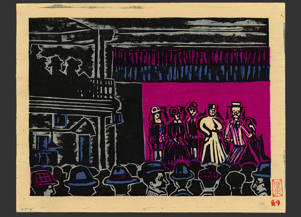
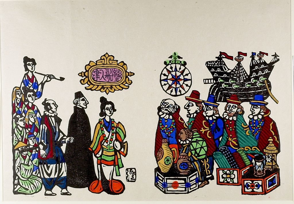
Imaginary map
- Medium:
- Mokuhanga (Japanese woodblock)
- Image courtesy of
- Saru Gallery
Description
A category Kawakami returned to throughout his career — decorative maps that combine real and invented geography with vignettes of ships, sea creatures, ports, and figures scattered across the surface in the manner of early modern European cartography. The composition is organized around a central landmass or sea, with the surrounding space filled with isolated motifs — sailing vessels with billowing sails, compass roses, spouting whales, foreign towns rendered as pictographic clusters. The format echoes both the Edo-period dochu-zu (travel maps) and the Portuguese portolan charts that arrived in Japan during the nanban contact period, two reference points central to Kawakami's visual world. The mokuhanga is necessarily multi-block, with each color requiring its own separately-carved board, and the playful, miscellaneous quality of the imagery is reinforced by the slightly uneven hand-rubbed registration that sosaku-hanga embraced rather than corrected.
More Prints by Sumio Kawakami


Featured in Collections
Curated cross-cuts that include this print.
Frequently Asked Questions
Imaginary map was created by Sumio Kawakami (川上澄生).